California Backpacking Trips
Oct 10, 2021
10 backpacking trips I took in California during the pandemic
During the pandemic, as travel was difficult, backpacking was a great way to unwind and get out of my element. Here is the tale of my 10 trips in California in 2020-2021, with the hope that it encourages others to take such trips.
You need 500-1500 USD of gear (weighting ~15-20 lbs plus food and water), and some planning and precautions, and the most beautiful and peaceful places in the country open up to you. I personally greatly enjoy solo backpacking; all except the last trip here were solo. When you’re the only human in a 5-mile radius, you’re near your physical or emotional limits, but have no choice but to go on, you learn something about yourself.
I try not to think about my regular life or work during trips – the ‘front-country problems’. But, almost without exception, I always end my back-country trips having reached clarity on how to approach an aspect of my life that I care about.
Big Sur: Vicente Flats
Jul 2020. My very first backpacking trip. The first one’s the hardest, both in terms of preparation needed to assemble the gear, and in terms of mistakes and problems. Despite the distress I will describe, it was fantastic. I started with the mistake of not paying much attention to elevation gain when planning the route. Then, there was a map error that caused more problems…
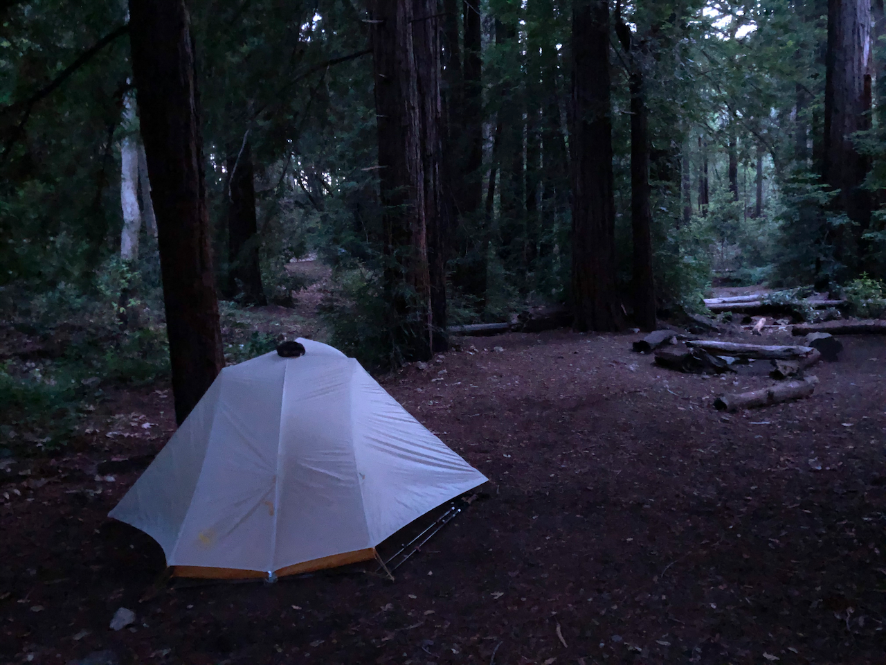
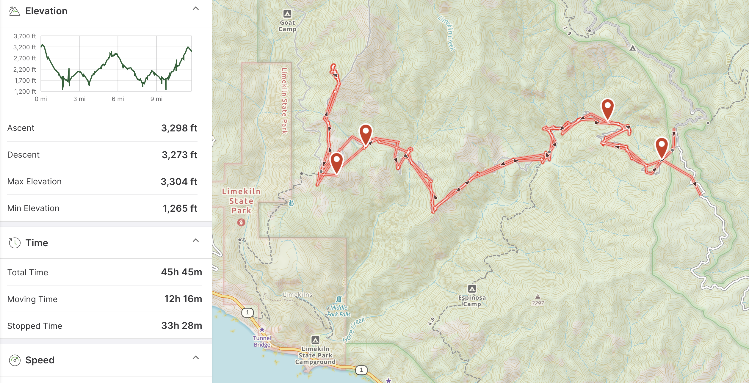
See where it says Goat Camp? That was marked, incorrectly, at the left-most point I ended up on the map. After a big climb there, I looked and looked off-trail on the side of that hill for the camp site. It was insanely hot and I had little water left, so I decided to turn back to my Day 1 camp at Vicente Flats. I was not fit enough for essentially doubling my hike for the day, in the heat. I started feeling faint, and my heart rate would not come down… Also, it turns out that hill I was all over was full of dry poison oak. Good times… After this trip, I planned elevation gain a lot more carefully, and bought a Garmin GPS unit to help myself relax about needing help in case there were any emergencies.
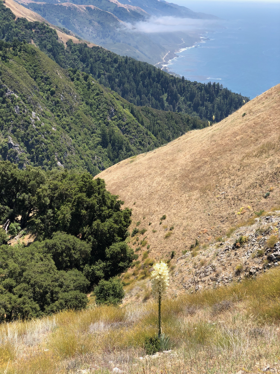
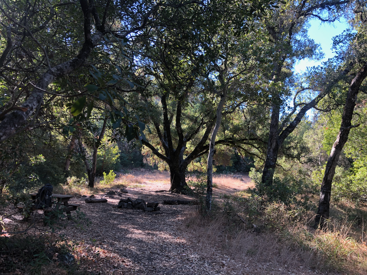
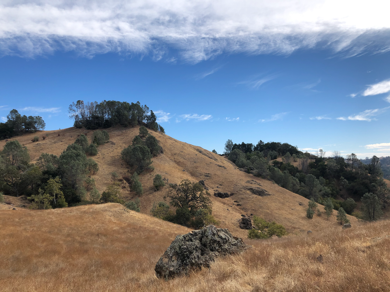
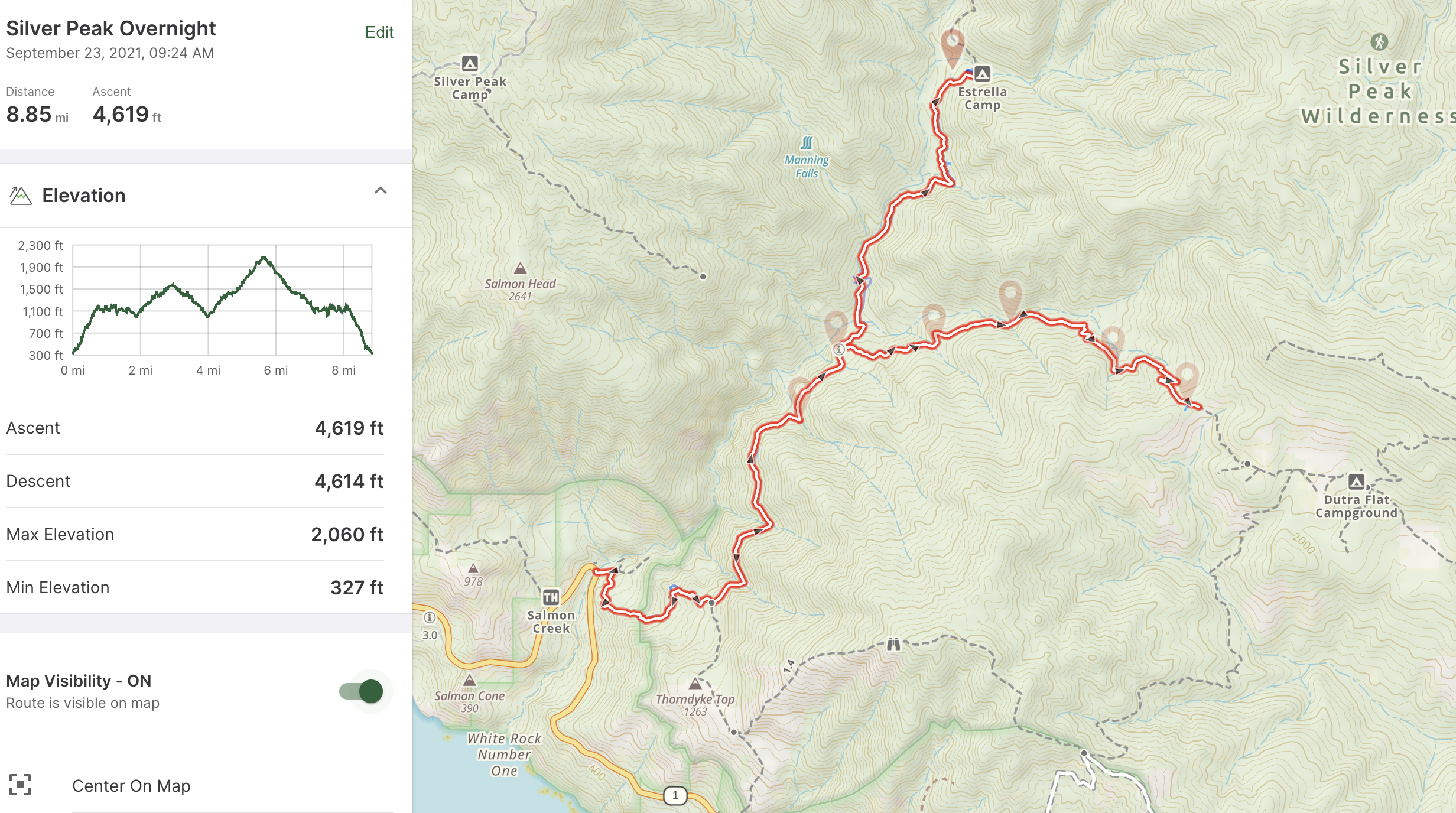
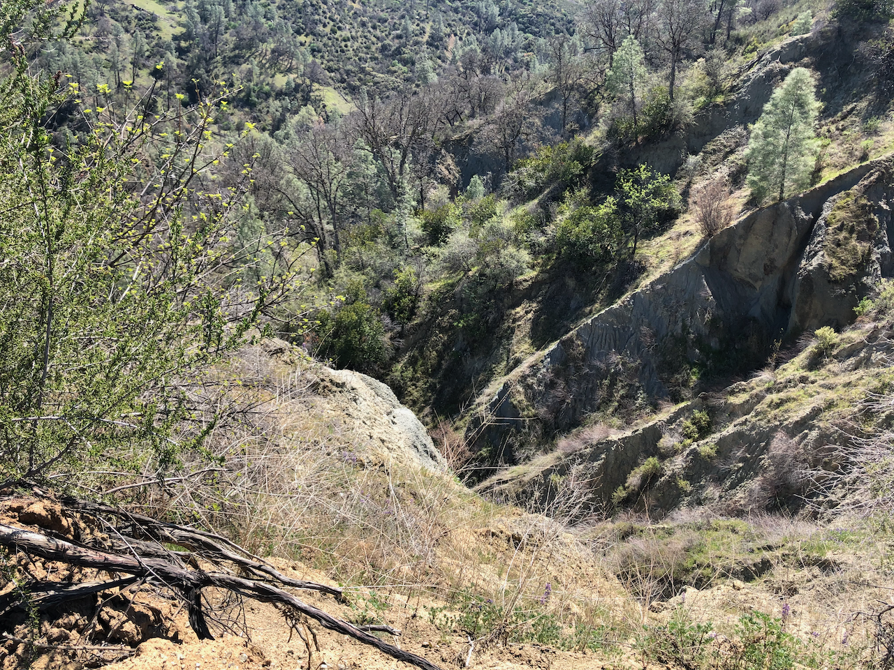
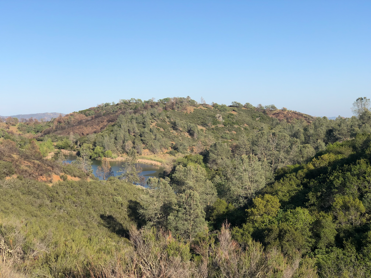
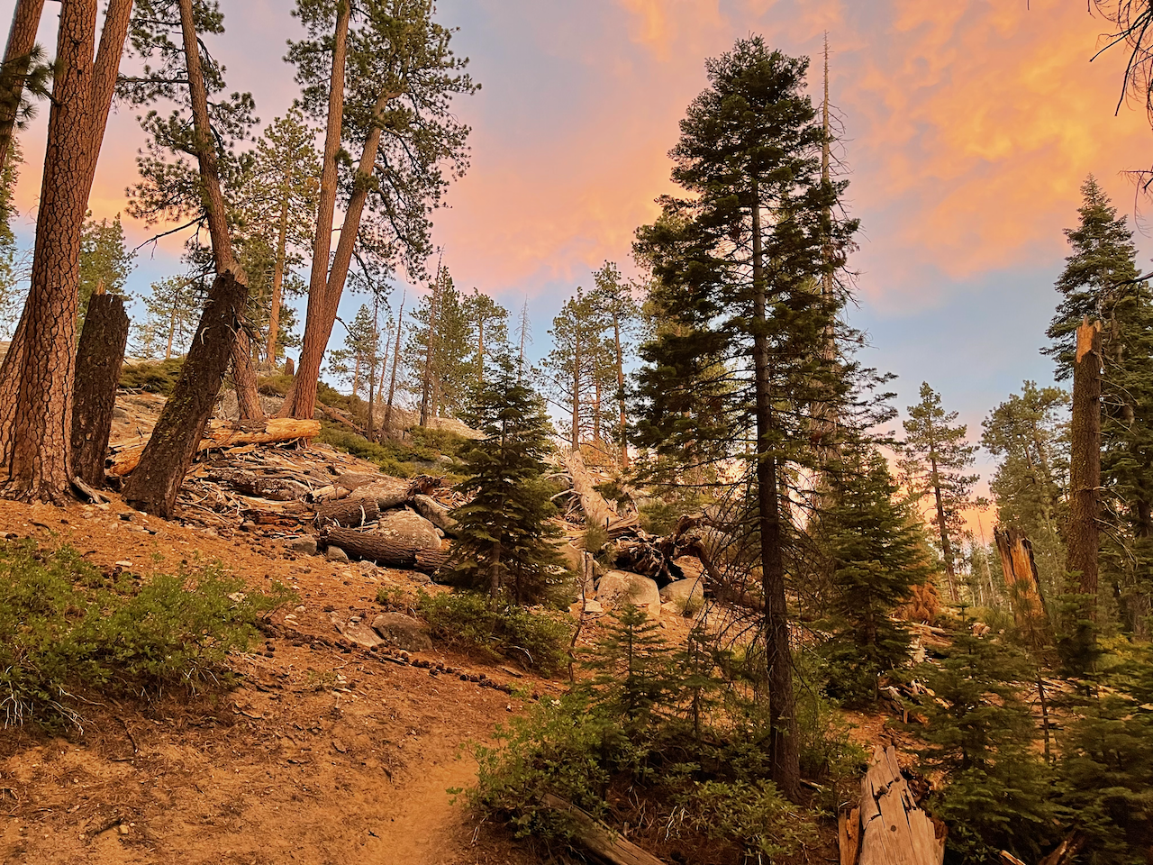
Big Sur: Silver Peak Wilderness
Oct 2020. I headed back to Big Sur for an overnight trip, which turned out to be a relaxing and happy one. Beautiful and quiet campsite at Estrella Camp, zero problems. I did a little extra hiking up towards Dutra Flats on the way back. Some people had come up there on horseback and had camped out where I took the picture with the dry grassy hills.
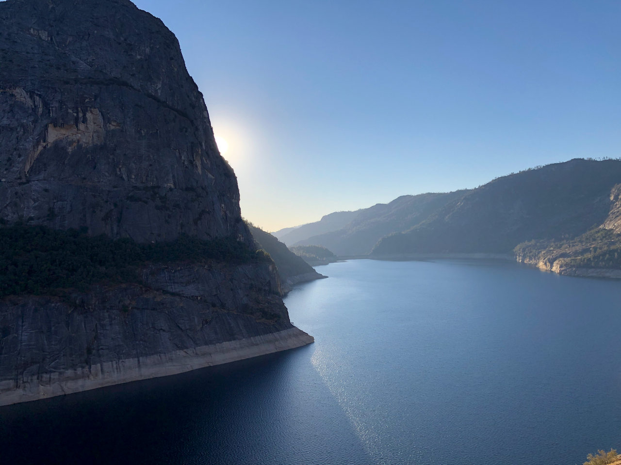
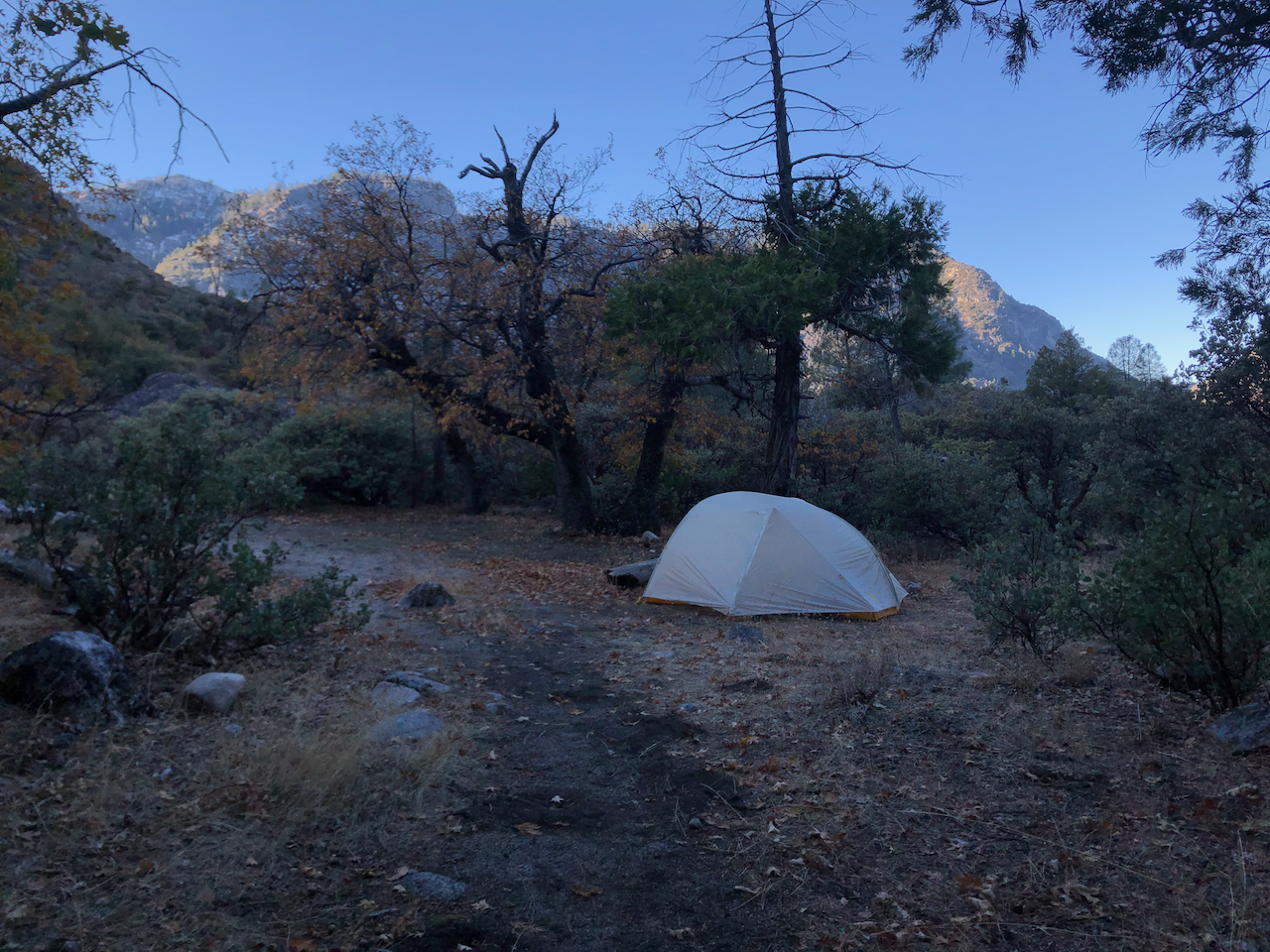
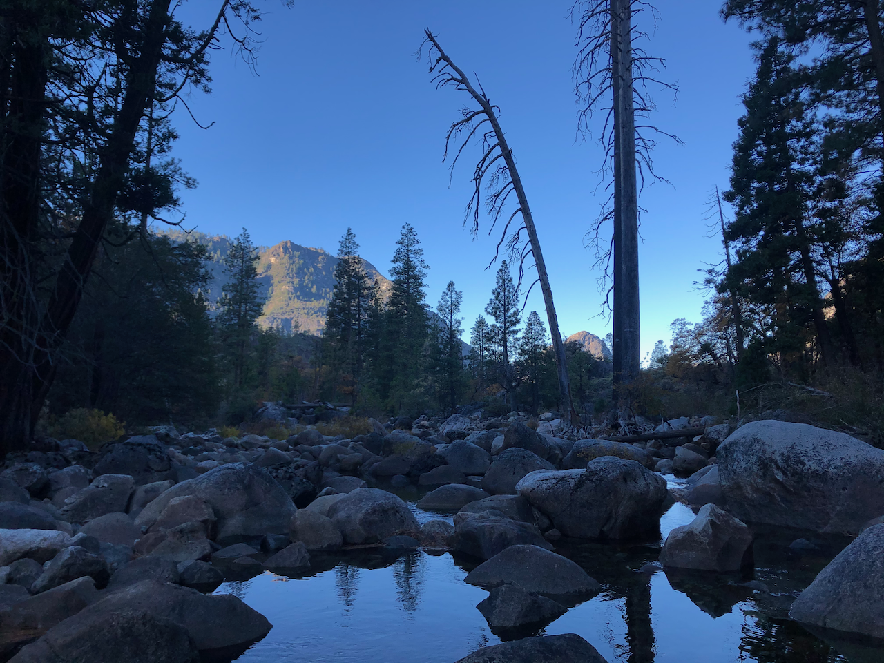
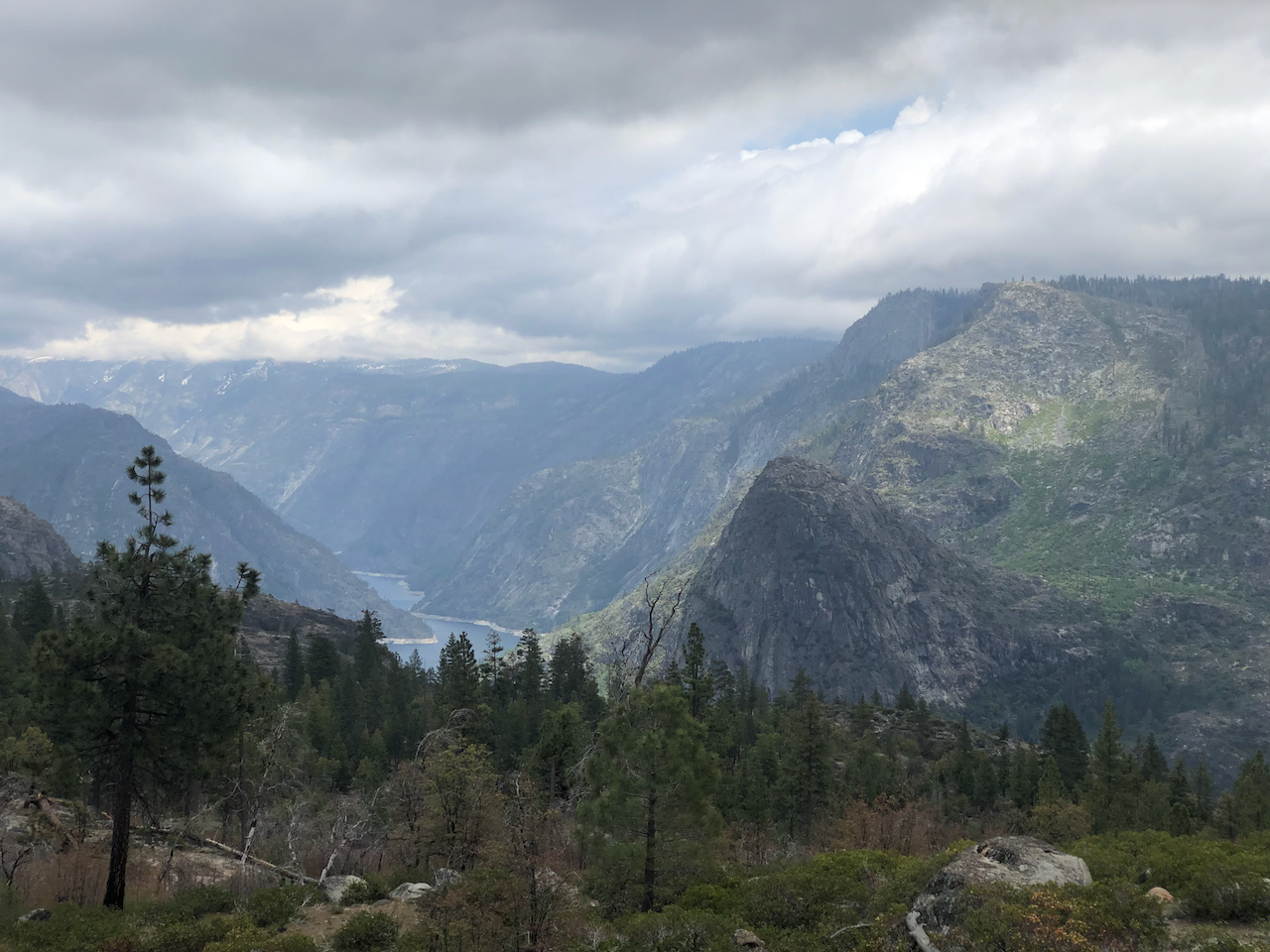
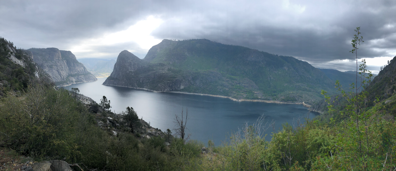
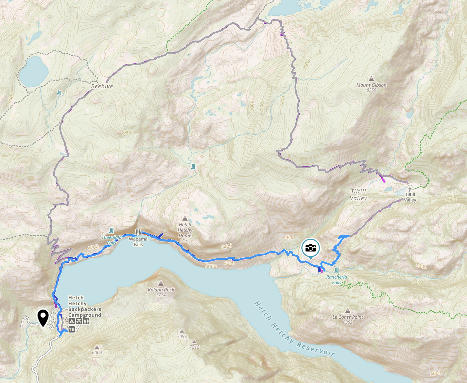
Yosemite: Hetch Hetchy Reservoir
Nov 2020. I took this trip around Thanksgiving. The good thing is that you don’t need a permit at that time of the year. The bad thing is that it got below freezing in the night, at my 32 degrees rated quilt was not enough to keep me warm. Eventually, at around 4am, I got up and made a fire. The reservoir is quite beautiful and adds something different to the area.
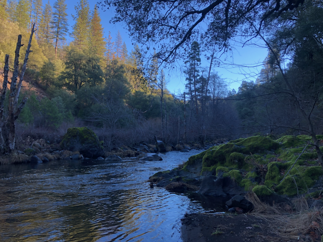
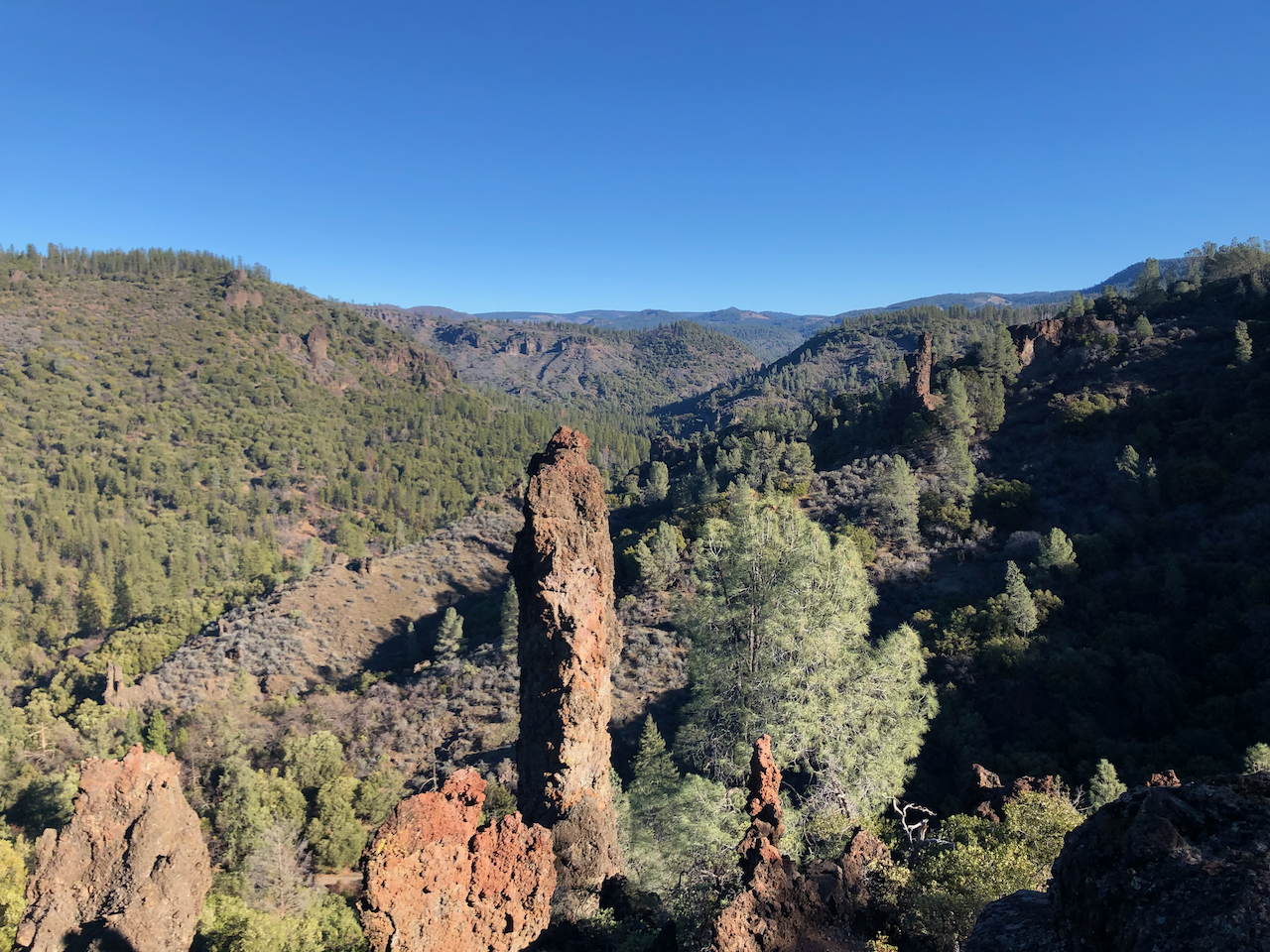
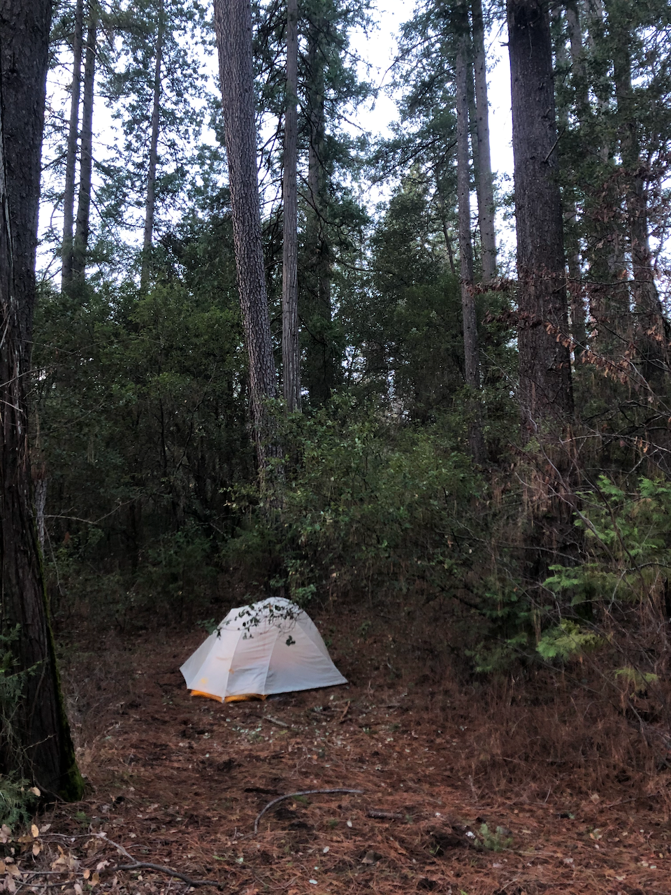
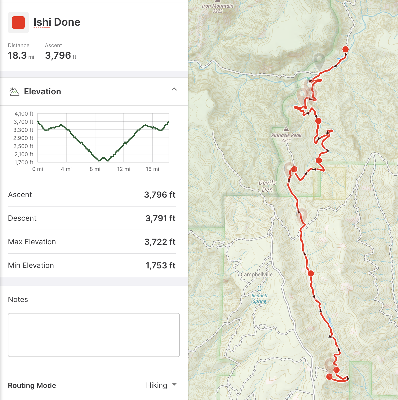
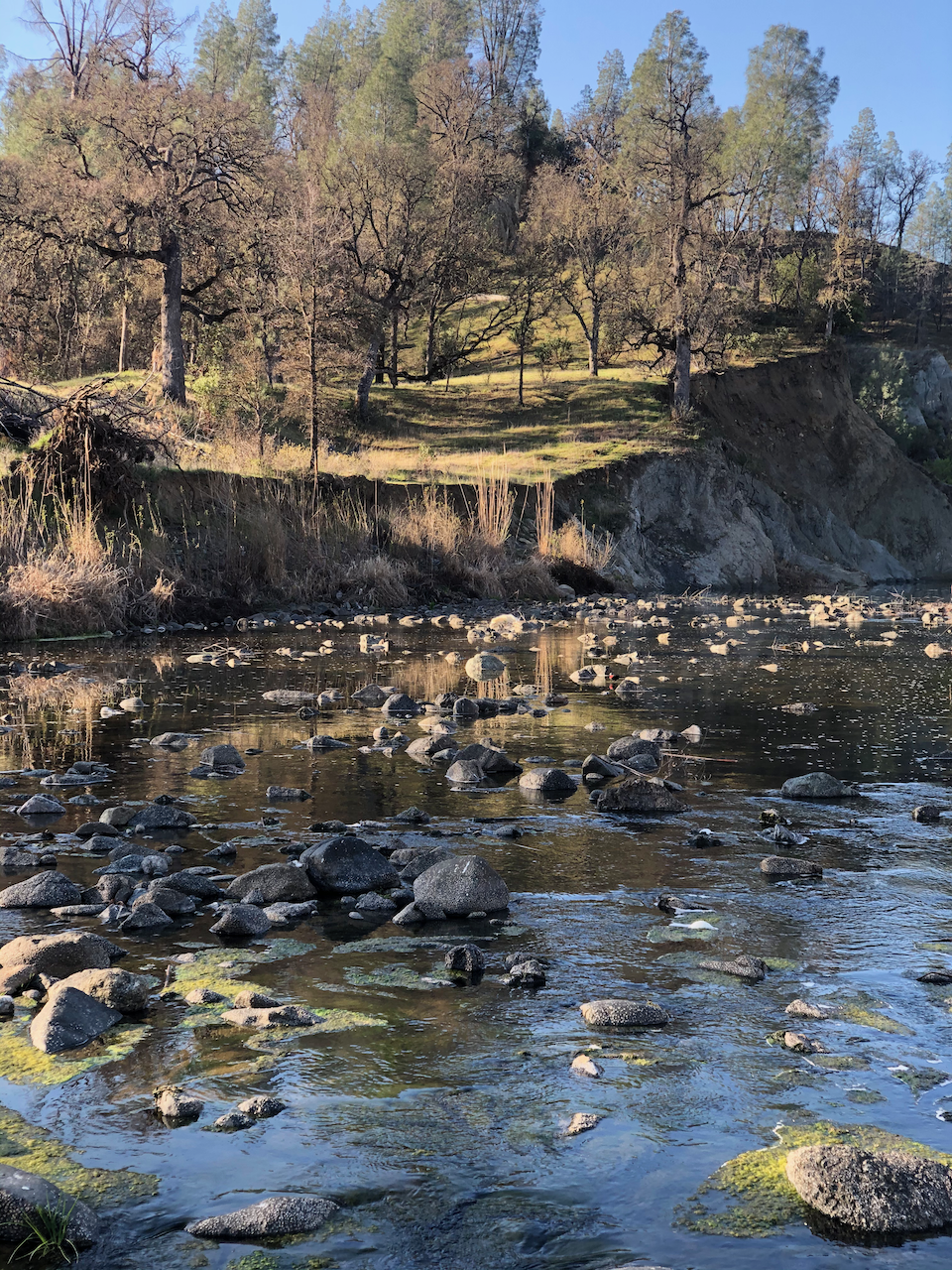
Ishi Wilderness
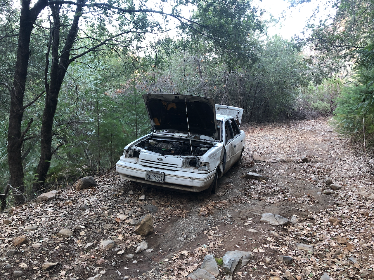
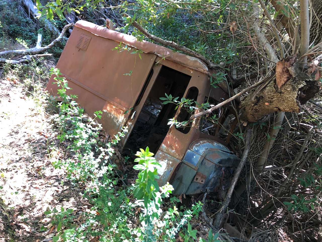
Jan 2021. Ishi was apparently the last surviving member of his tribe, which was based in this area. During the hike, it was beautiful to think about that tribe and how they lived. The road I had planned taking to the trail-head turned out to be a lot more difficult to drive than I imagined, with a lot mud and giant puddles. Eventually I pulled to a logging road and parked on the side, and made the hike into a 10-mile dirt-road-walk to Deer Creek, my initial plan starting point. The cars of those who had not made the same wise choice were there as a cautionary tale. That white car had a broken bottle of Proper 12 in it.
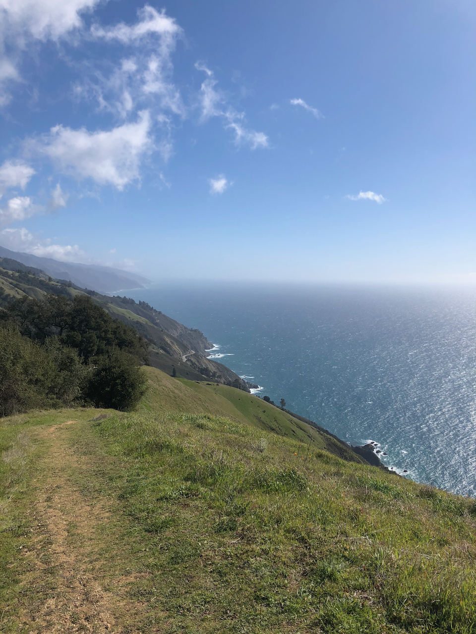
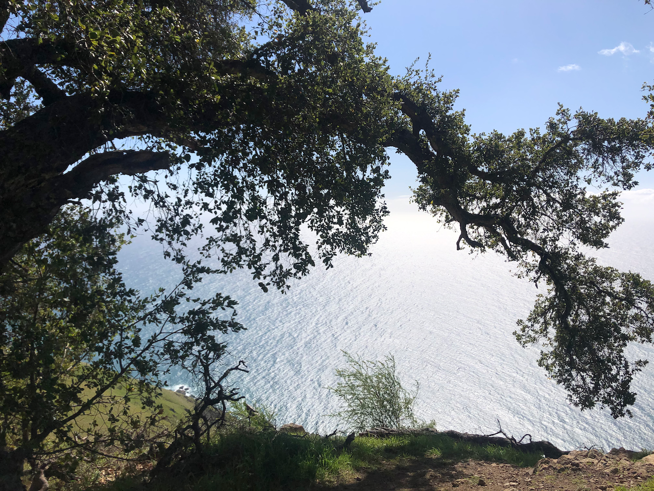
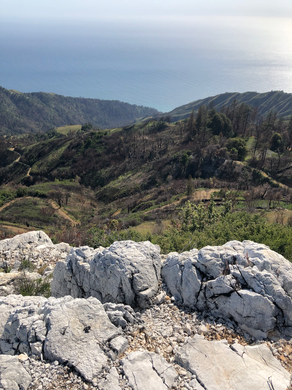
Big Sur Boranda Trail
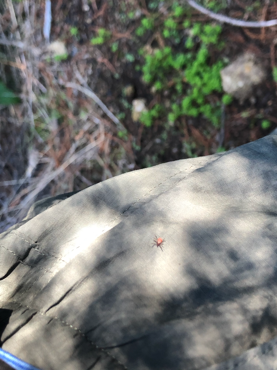
Feb 2021. A massive climb right by the ocean. Nature in this area is particularly beautiful. I was so hyped up when I got to camp, that I almost decided to hike another 4 miles in the dark. The night near the top was quite windy. On the way back, I decided to take an alternate trail back. It was quite overgrown and I found a couple of ticks on my clothes after some parts. Thankfully none made it to my body since I had everything tucked in, and checked frequently. After this, I started treating my clothes with Permethrin prior to trips. This was probably the most Big Sur out of my Big Sur trips.
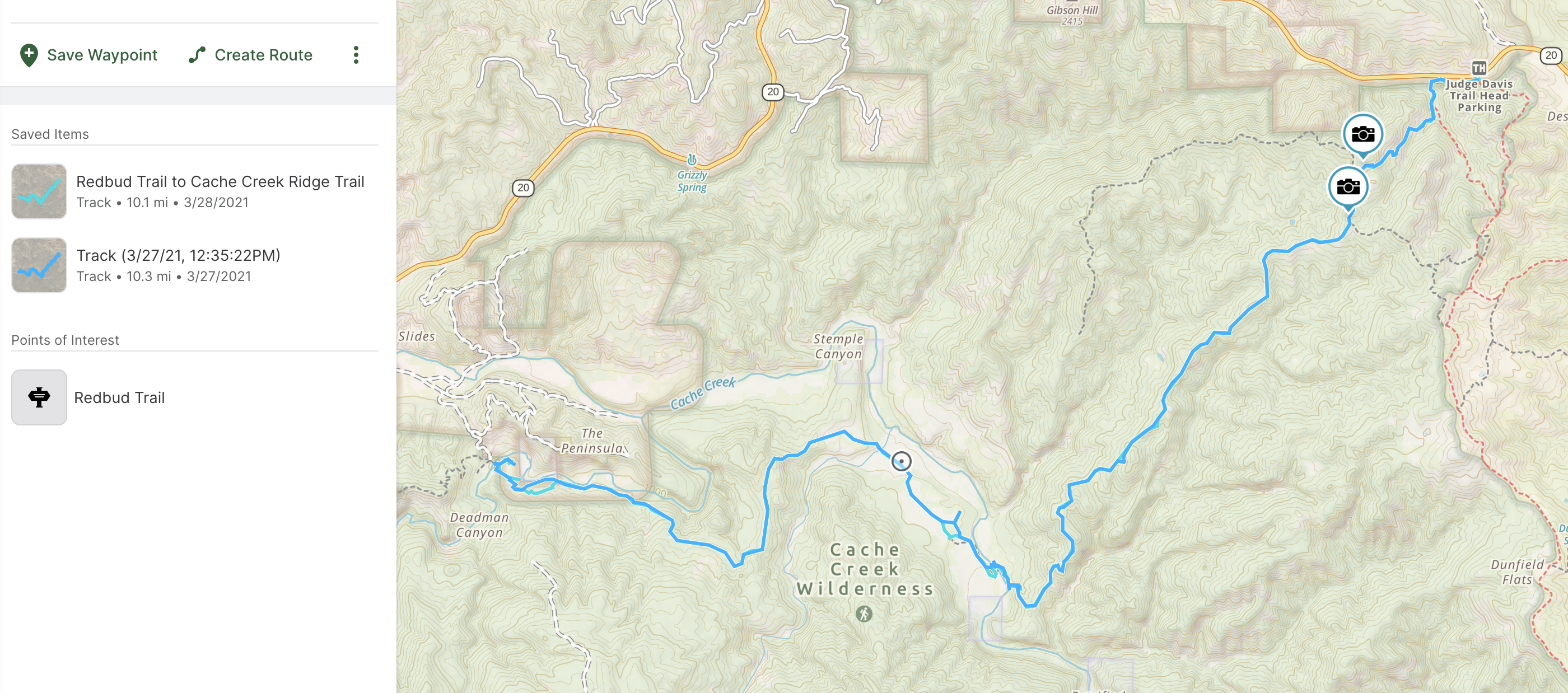
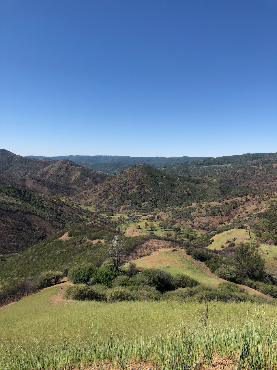
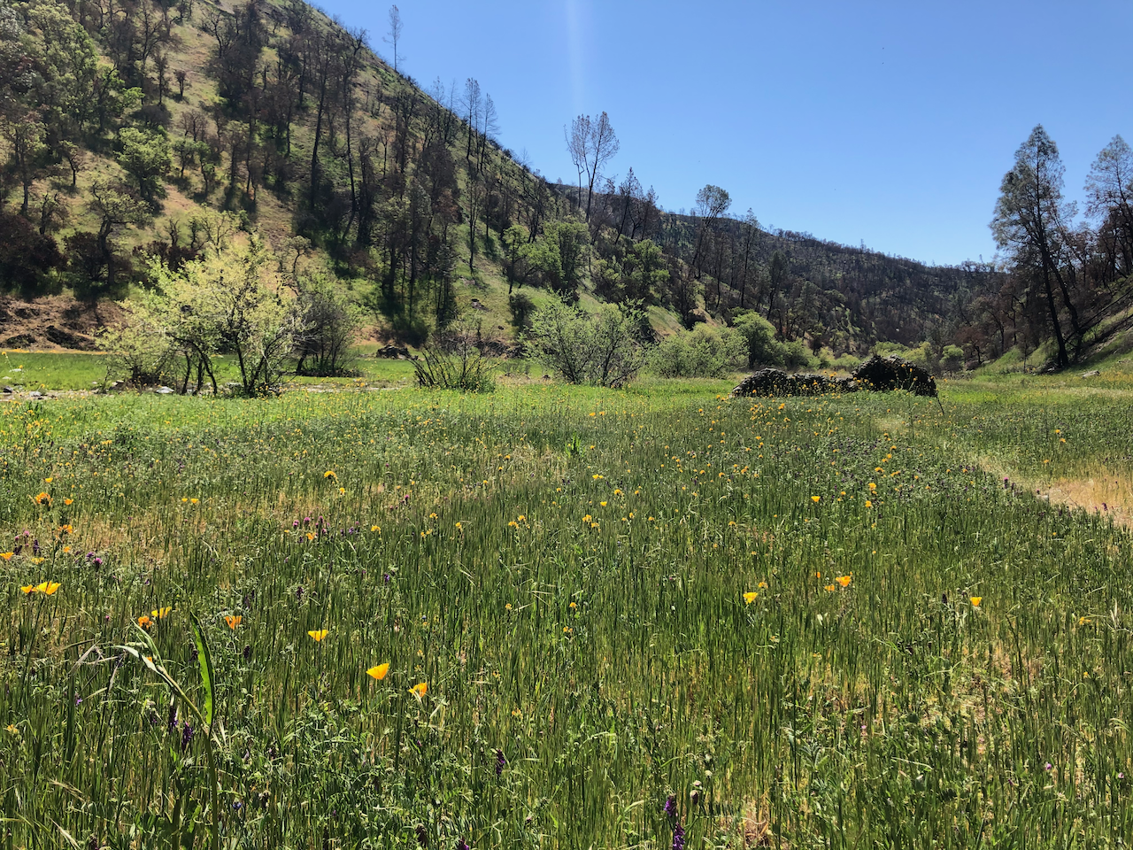
Cache Creek Wilderness
Mar 2021. I ran into: full-camo wild turkey hunters, awesome archer wild turkey hunters.
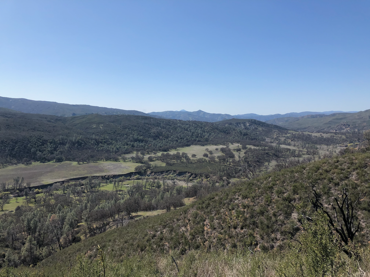
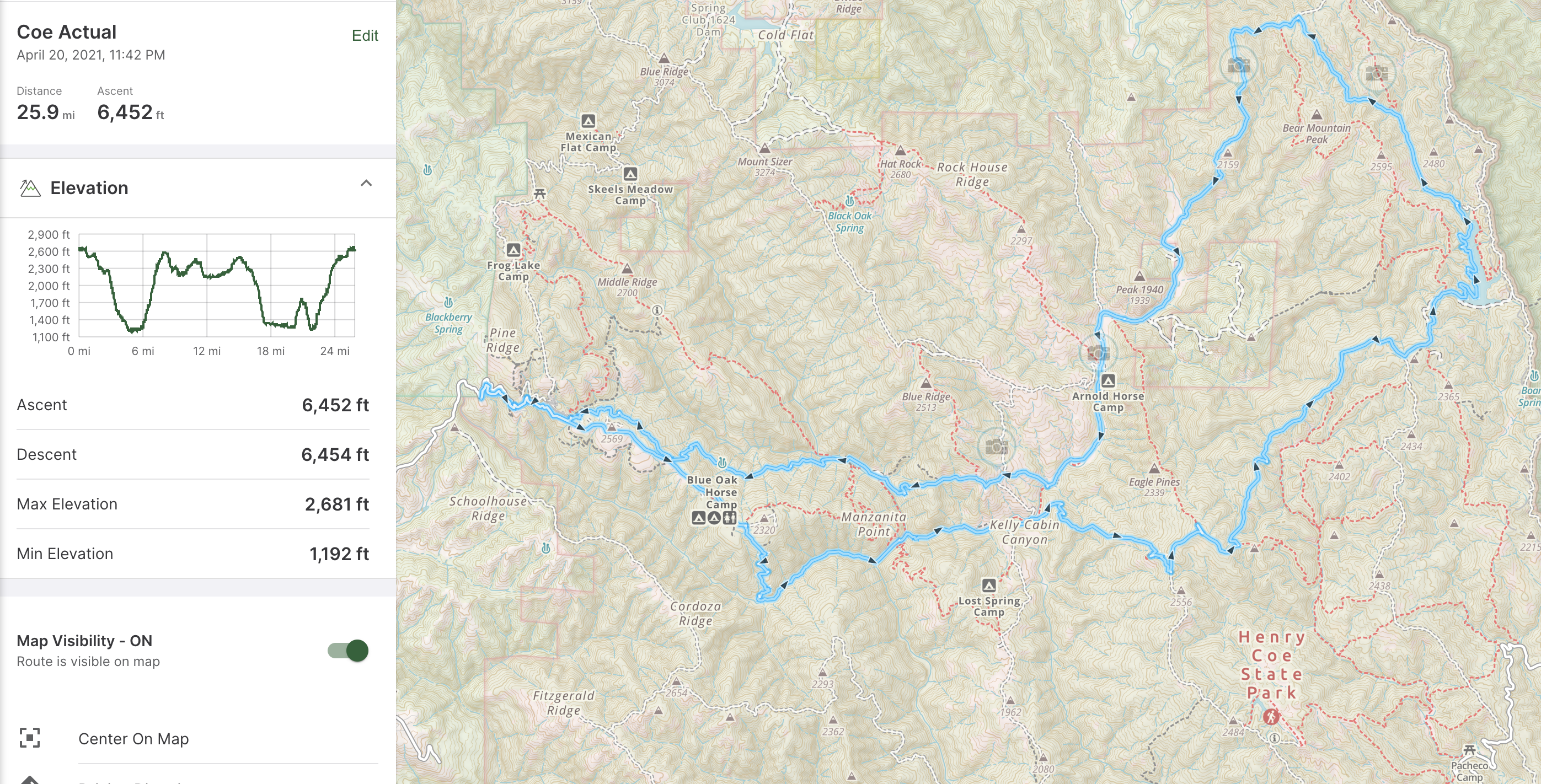
Henry Coe State Park
April 2021. A beautiful area very close to San Jose. Definitely best to avoid the summer as it gets pretty hot. The valleys were especially pretty. There was a dead cow on the side of the trail. (not sharing a pic as it was quite gruesome)
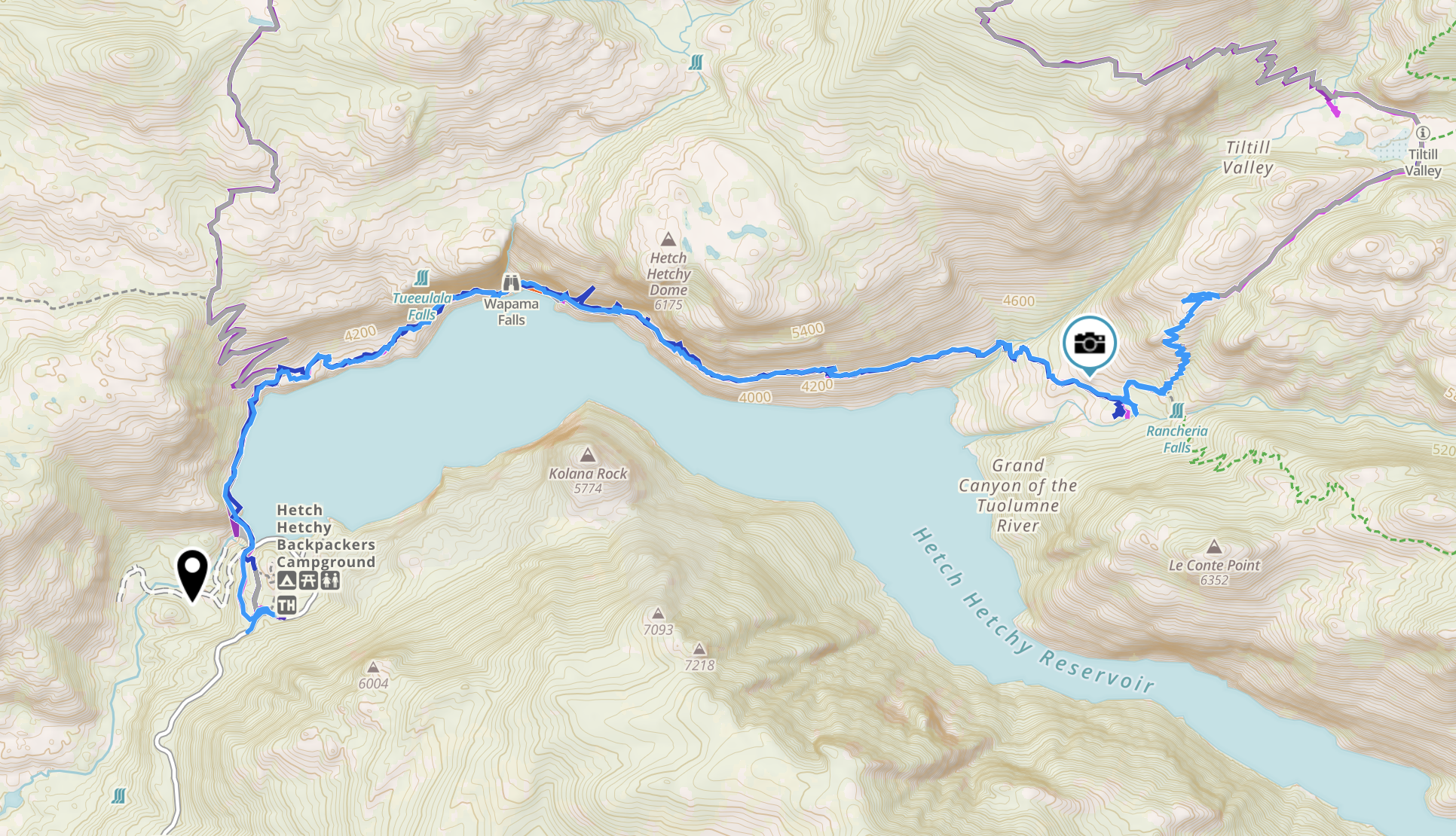
Yosemite: Hetch Hetchy Loop
May 2021. I made my way back to Hetch Hetchy to do a big loop up to Vernon Lake and back to the reservoir. I didn’t expect to be the only person in Tiltill Valley the first night. I was worried about bears and didn’t sleep too well in Tiltill valley. (I’ve been working on my fear of bears since then.) As a result, I wanted to go home and finished the rest of the trail in one day.
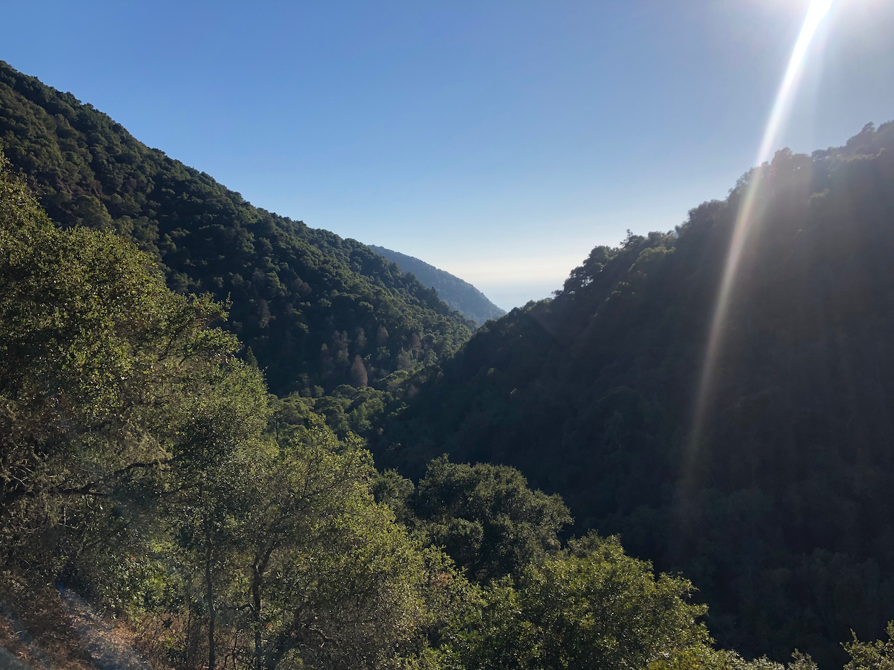
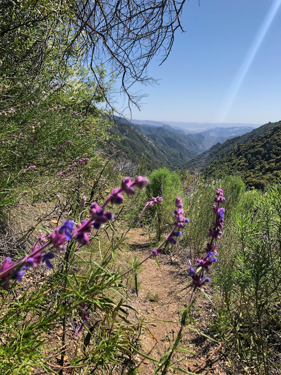
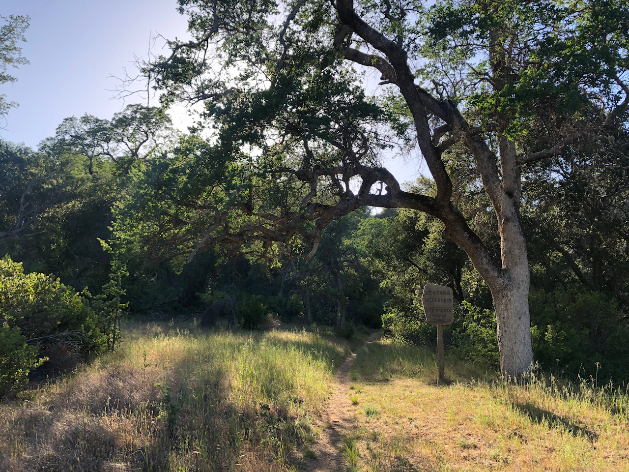
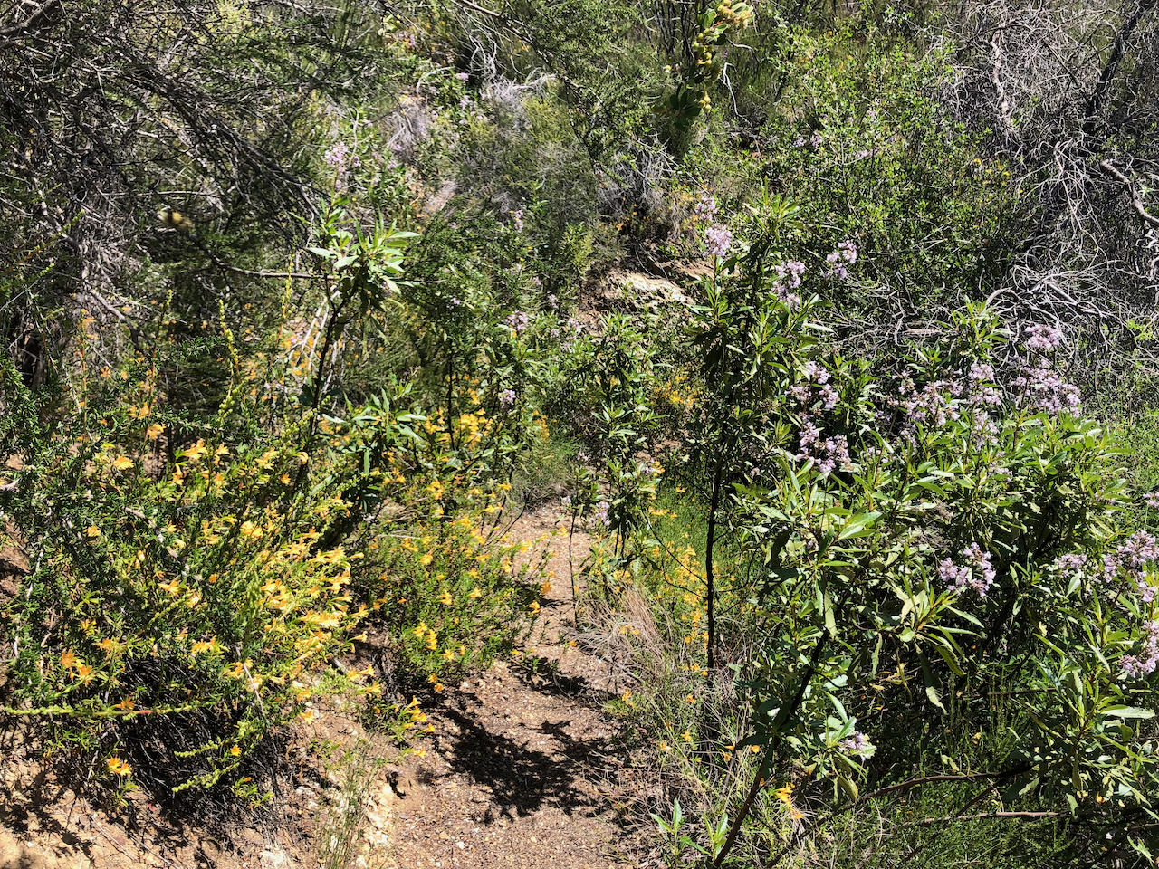
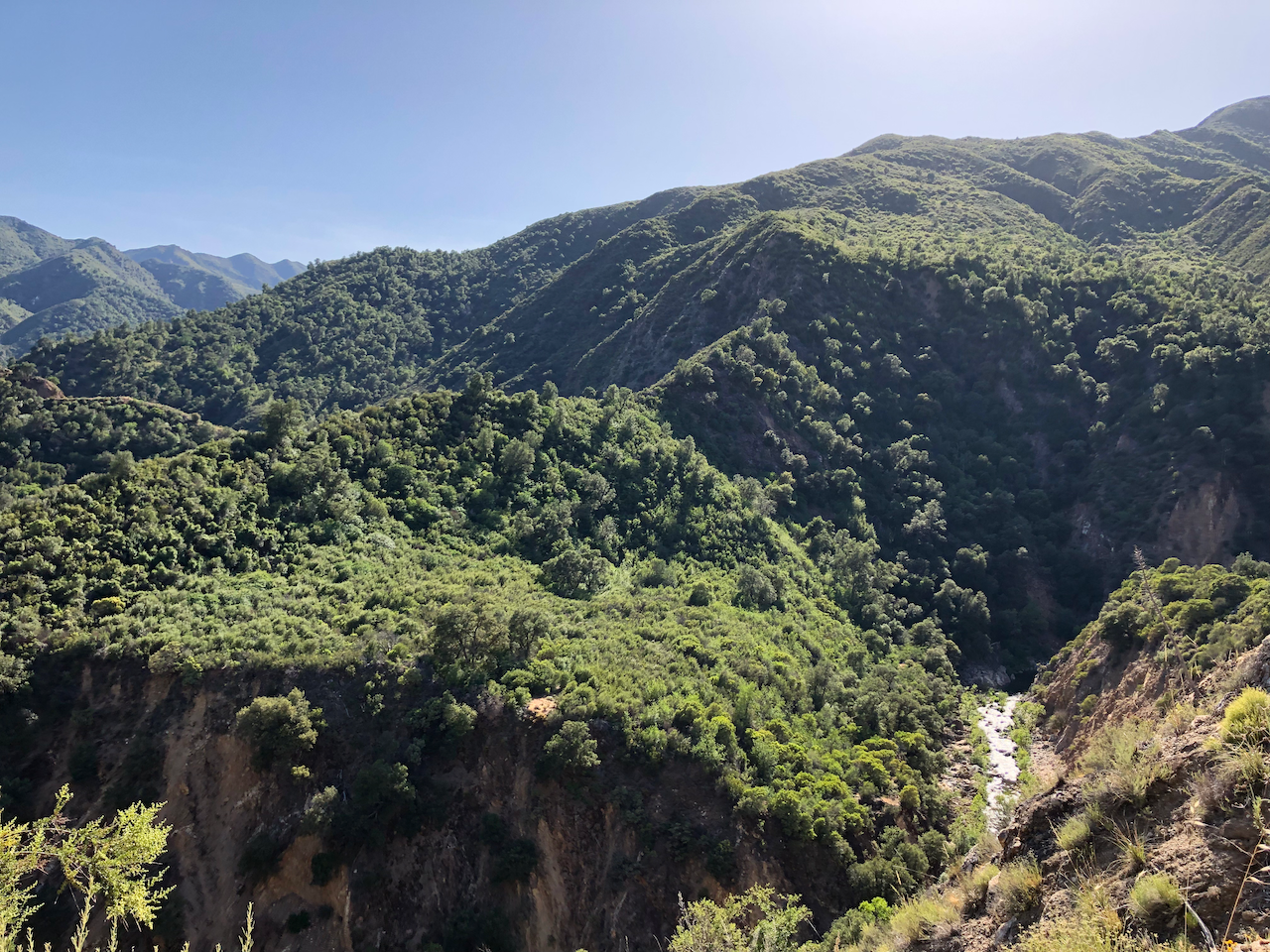
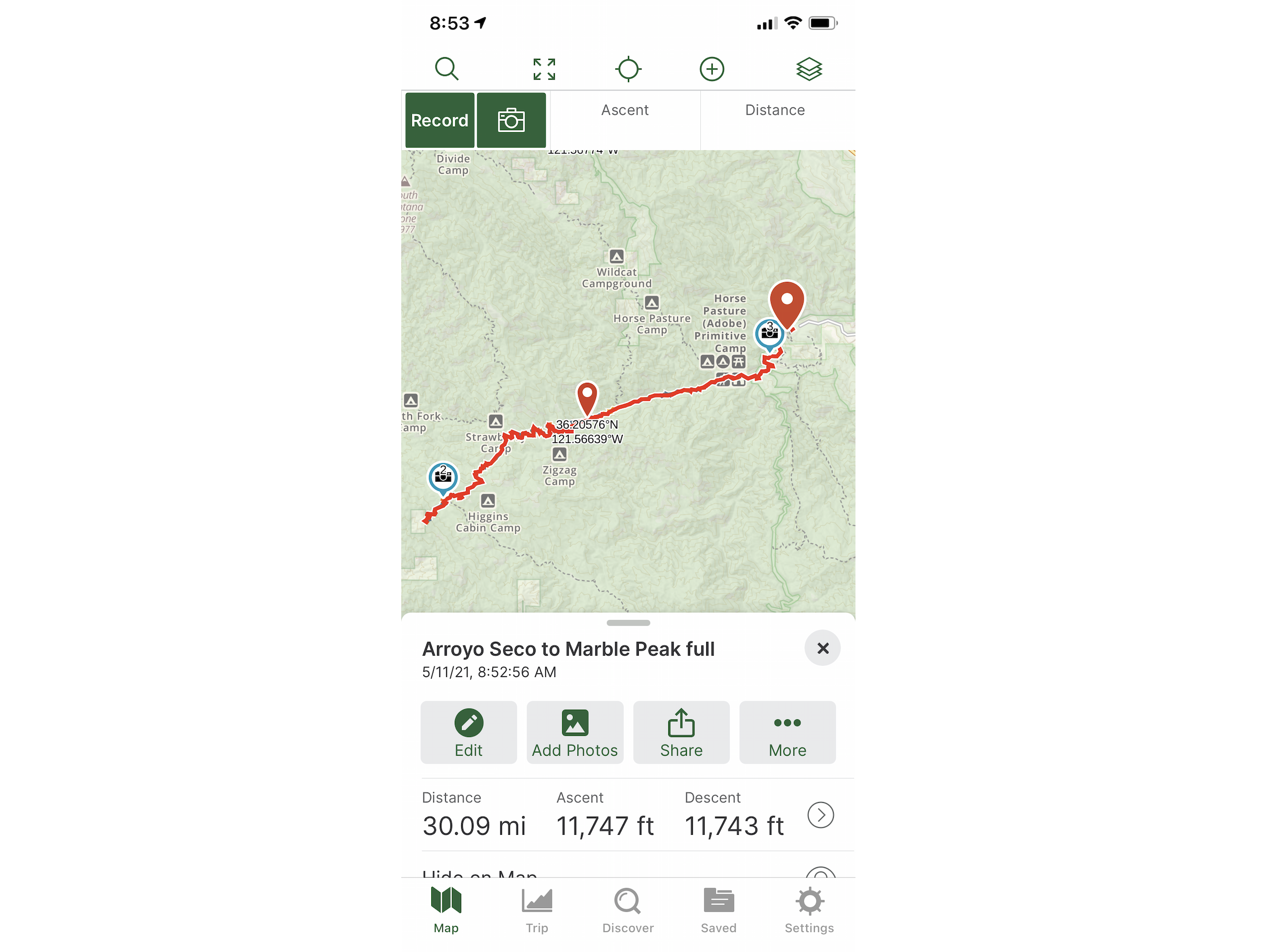
Big Sur: Epic Trip Arroyo Seco to Marble Peak
May 2021. The highest highs and the lowest lows on this trip. The route started deep inland from the Arroyo Seco campground and made it all the way to Marble Peak near the ocean. The first evening, I saw a large animal looking at me while setting up my tent. It was already dark at this point. It looked at me for a while, I made myself big and said a few things. As it was leaving after some minutes, I could see its silhouette and I’m pretty sure it was a mountain lion. I still go back to how that moment felt when I think about its eyes shining against my headlamp’s light. Also, I was attacked on the trail by a wild Turkey who thought she needed to protect her chicks from me. The scenery and route, battling the elements and the overgrown vegetation, not seeing anybody else for two days, finishing with a dip in the river, … it felt intense and special. There is a detailed report on Reddit.
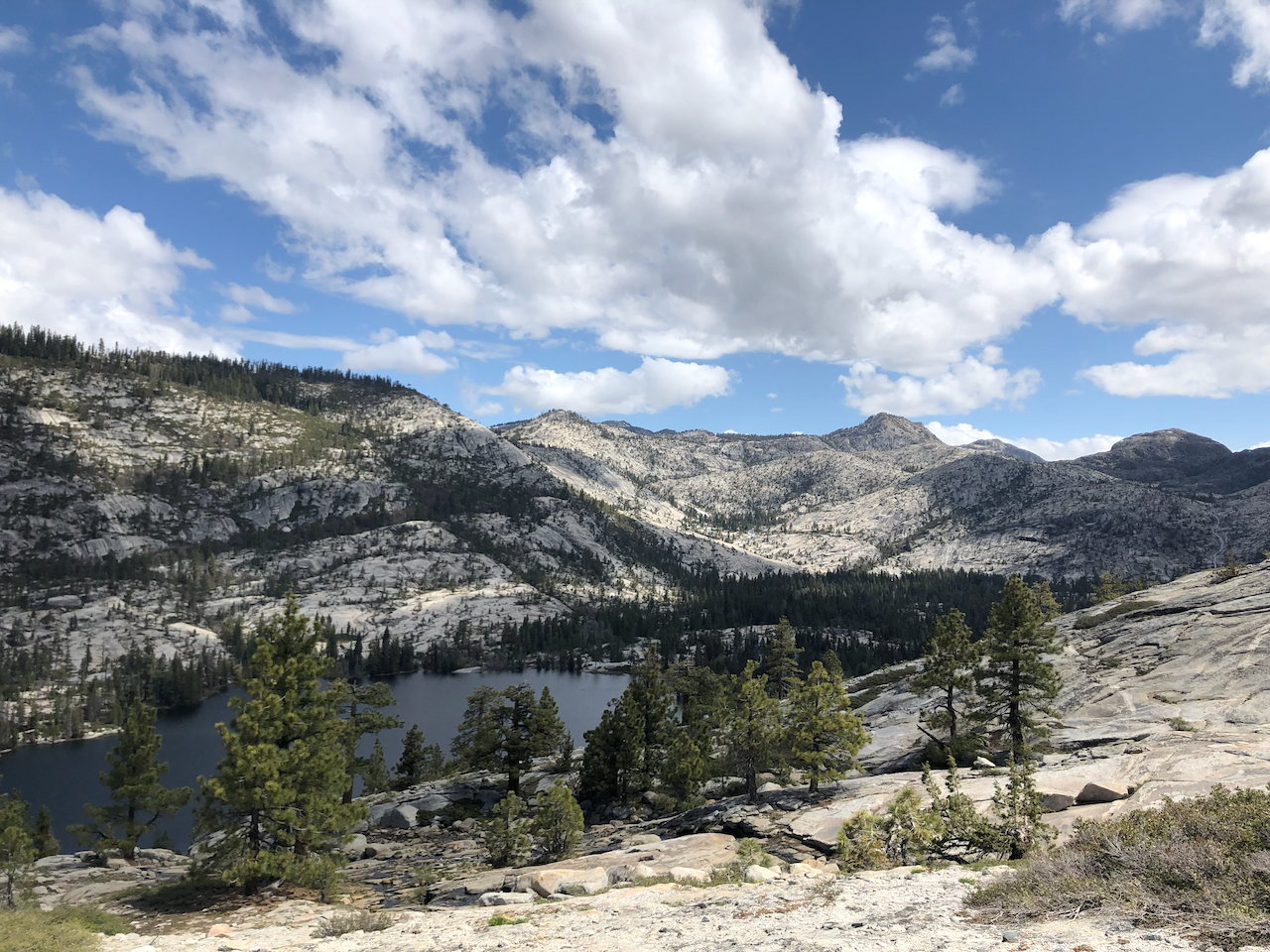
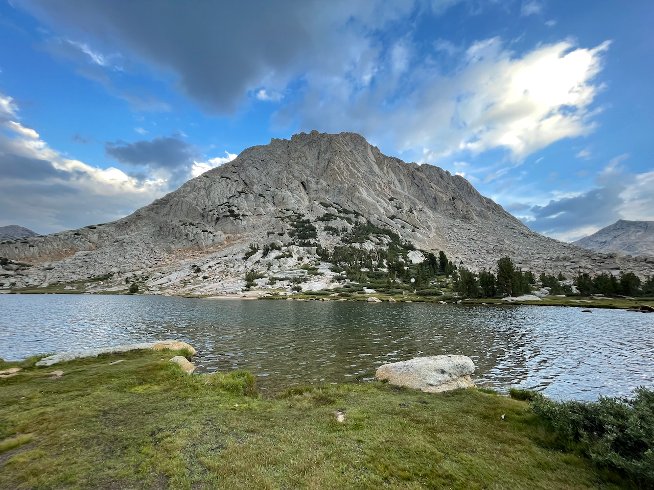
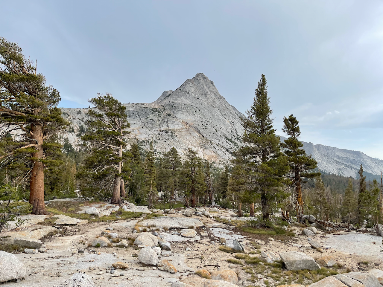
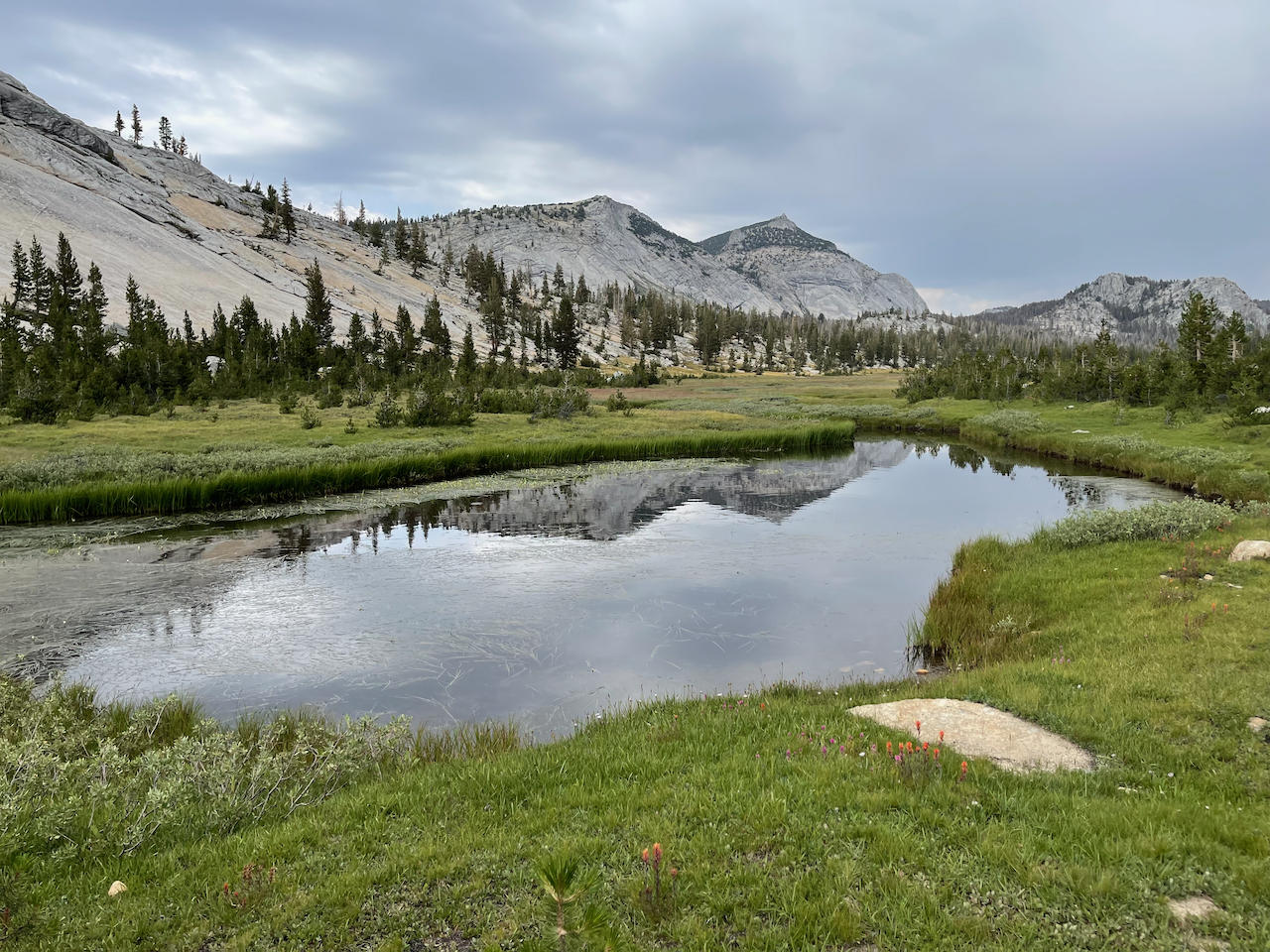
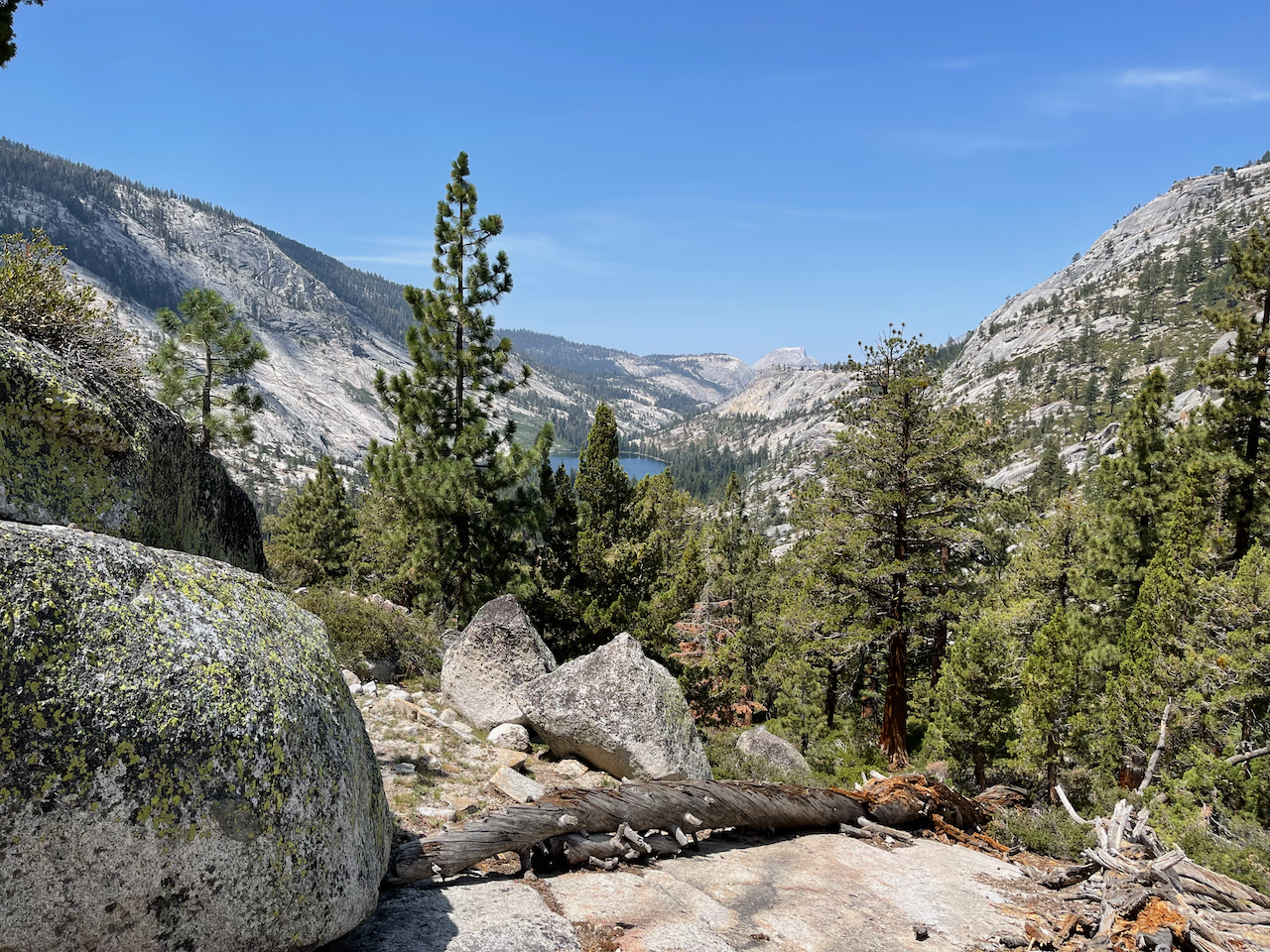
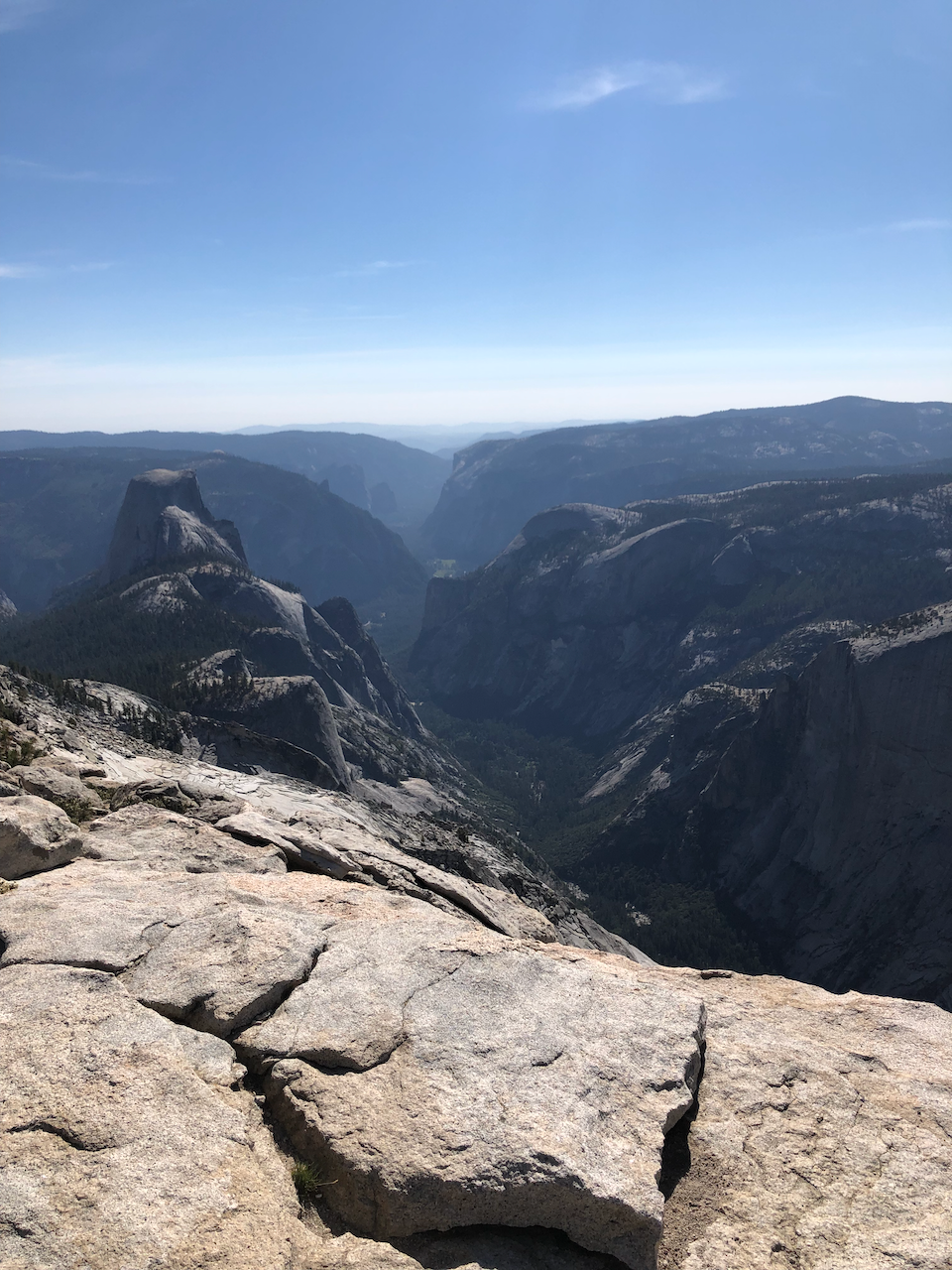
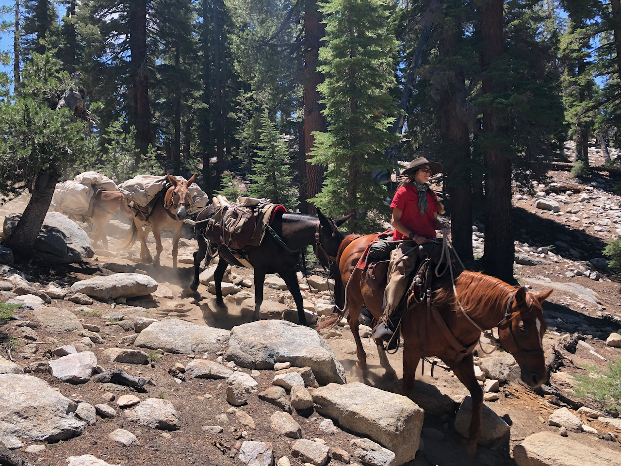
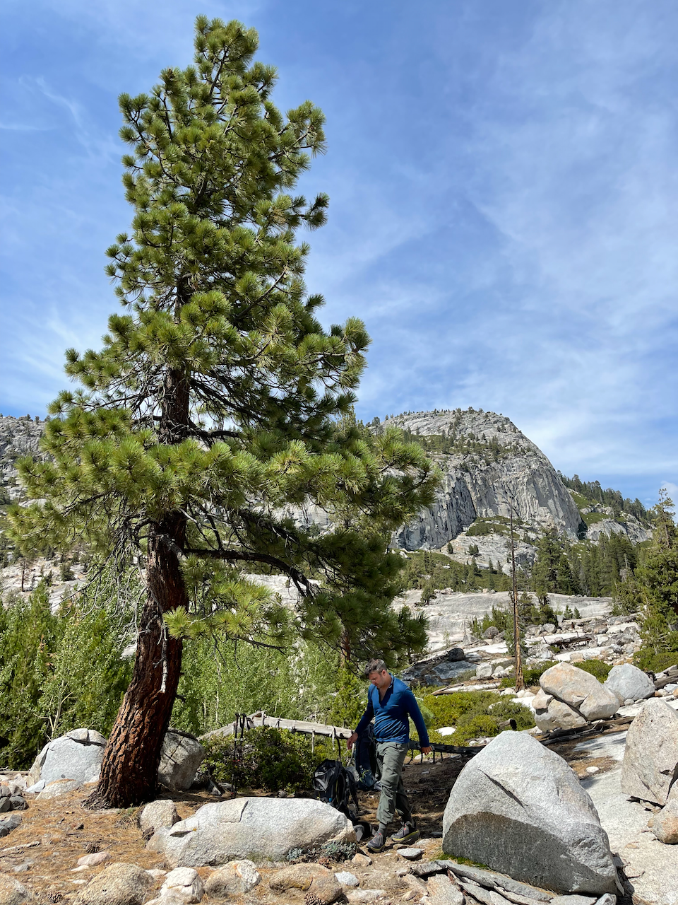
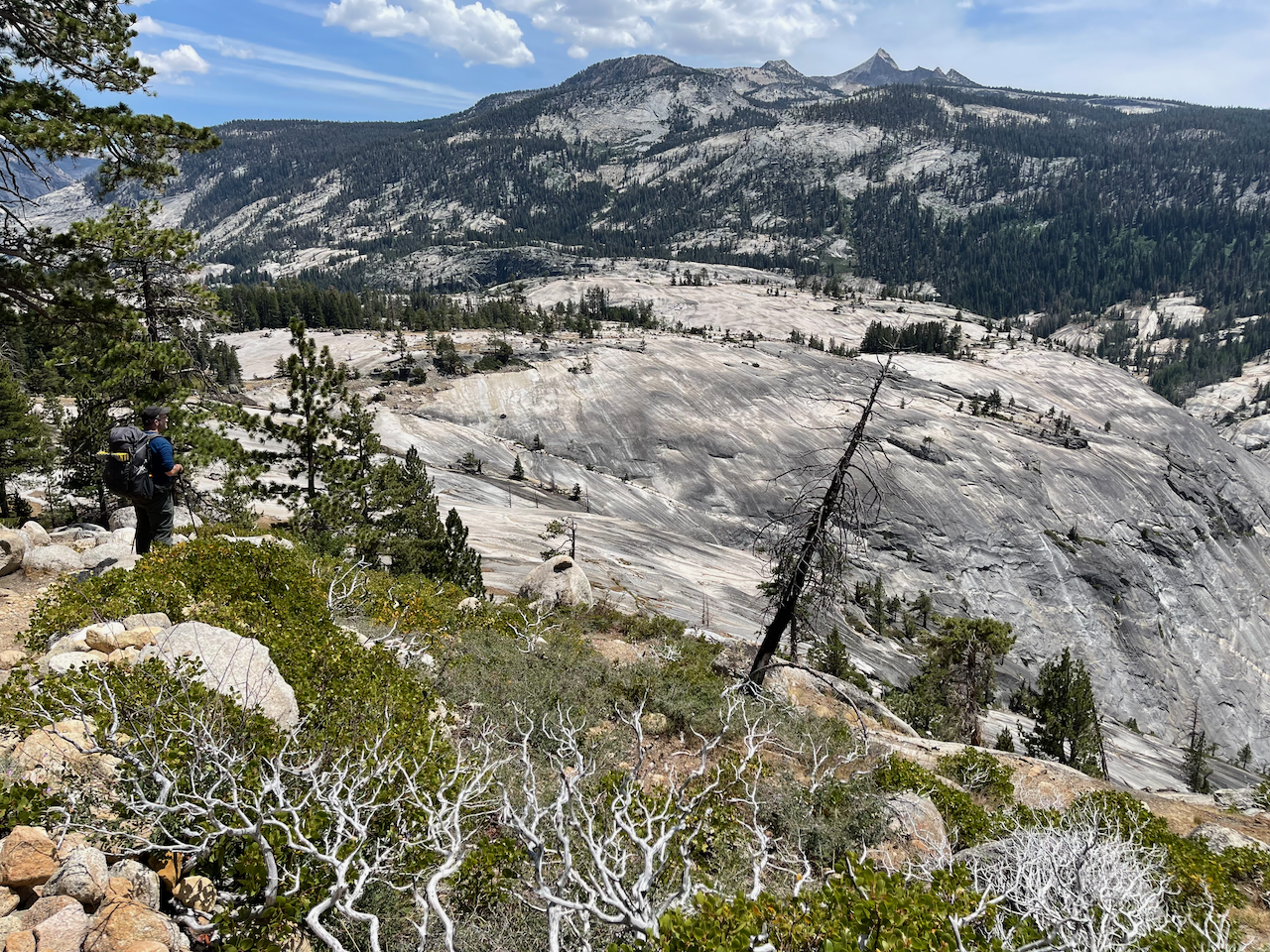
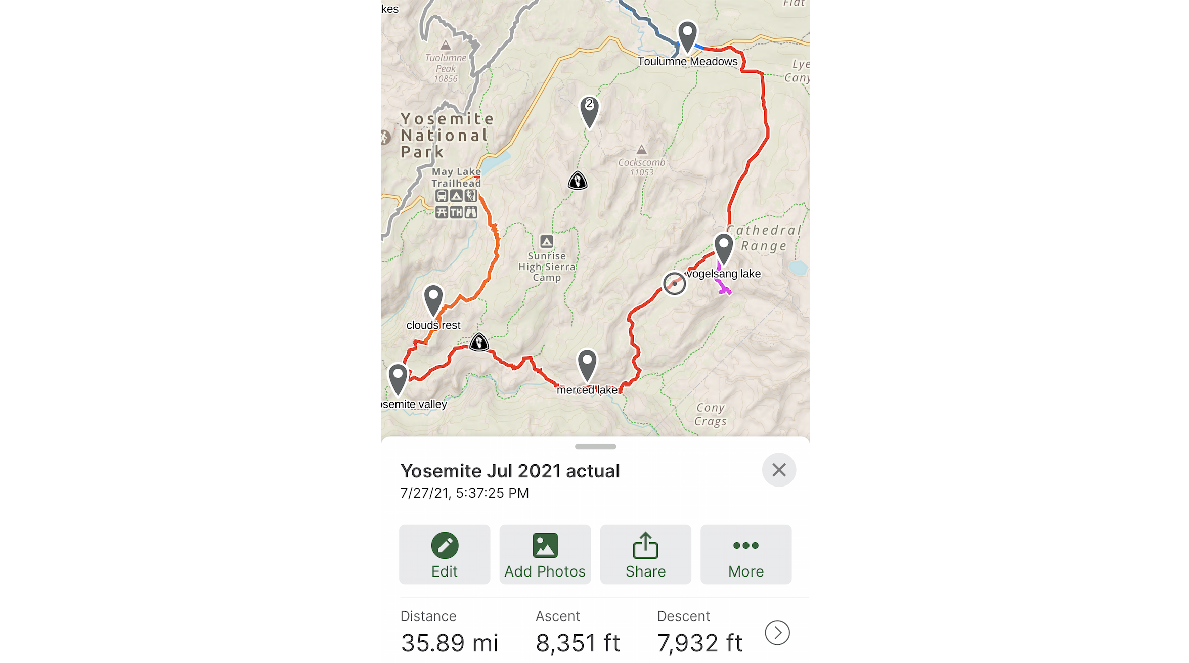
Yosemite: 5-day trip through Clouds Rest, Merced Lake, Vogelsang Lake
July 2021. I had planned this trip and gotten the permit six months prior. My friend Ilya joined me for this epic 5-day trip. We took a rest day near lake Vogelsang, a beautiful area.
You can find my gear list here.